Americas

mp568MP 568


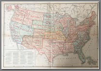
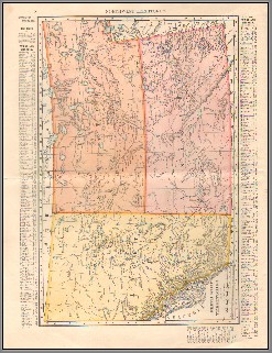
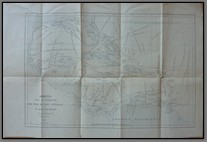
Outline map of the Provinces of the Catholic Church in the United States. Shows Indian reservations as well. Produced before Oklahoma was a state. Size 38x53.

Price: $150.00

mp552MP 552


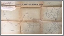
Blueprint for the construction of a trolley line in Rio de Janeiro, 1947. 61x106cm. B

Price: $300.00

mp521MP 521


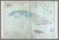
Map of Cuba and Jamaica, showing railways and steam routes. Inset of Havana. Bacon’s Geographical Establishment. Size: 35x50cm. M

Price: $190.00

t-cep412CEP 412t-cep412aCEP 412t-cep412a1CEP 412


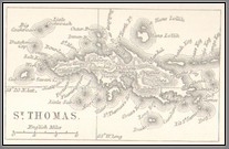
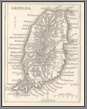
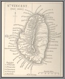
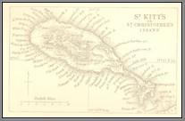
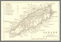
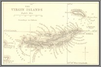
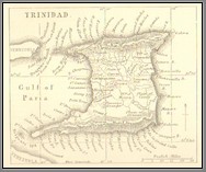
Collection of 7 small 19th century maps of the Caribbean Islands, with descriptive text. B

Price: $40.00

t-cep412a2CEP 412 t-cep412a3CEP 412 t-cep412a4CEP 412 t-cep412a5CEP 412

mp402MP 402

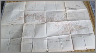
Map of Cuba drafted expressly for El Impartial. Surveyor José Méndez. Scale 1: 225000. Measures 62.5 x 40 cm. Some hole through the folds. No date but likely 1886 (based on internet findings). m

Price: $350.00

Note: El Imparcial was a daily paper of liberal ideology founded by Eduardo Gasset and Artime in 1867 and disappeared in 1933.

t-wa117WA 117


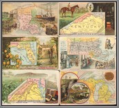
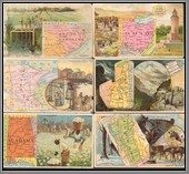
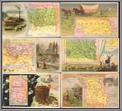
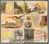
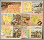
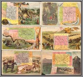
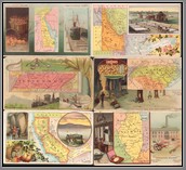
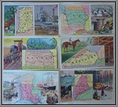
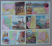
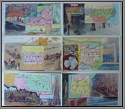
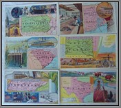
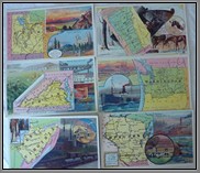
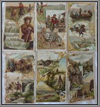
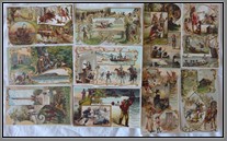
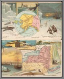
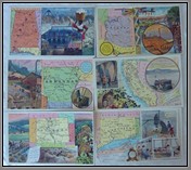
Complete set of 50 Arbuckles Coffee cards titled US STATES AND TERRITORIES, published in 1891. MMM

Price: $1700.00

t-wa117aWA 117 t-wa117a1WA 117 t-wa117a2WA 117 t-wa117a3WA 117

t-wa071WA 071


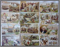
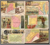
The complete late 19th century card set titled US States and Territories by Arbuckle’s Ariosa Coffee, in 1889. All 50 cards are present. Plus I have added the Sandwhich Islands, from another set as Hawaii was not yet a US territory. MM

Price: $1700.00
t-wa071aWA 071 t-wa071a1WA 071 t-wa071a2WA 071 t-wa071a3WA 071
t-wa071a4WA 071 t-wa071a5WA 071 t-wa071a6WA 071 t-wa071a7WA 071

t-wa124WA 124

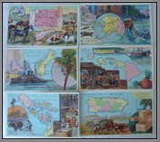
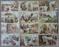
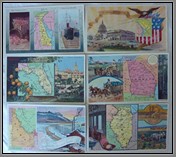
Complete set of Arbuckle cards on States and Territories of the USA. Produced in 1915, it was the last set produced following the 1889 version (see WA071). This set contains completely different background images, reflecting the progress that occurred in America over the last 15 years. This set contains the 50 states shown in 1898 but also the 4 colonies: Guam, Hawaii, Philippines and Puerto Rico. In 35 years I have only seen 4 cards from this set, which is in VG condition (except one card). No US library or museum holds this set. M

Price: $5000.00
t-wa124aWA 124 t-wa124a1WA 124 t-wa124a2WA 124 t-wa124a3WA 124
t-wa124a4WA 124 t-wa124a5WA 124 t-wa124a6WA 124 t-wa124a7WA 124

mp379MP 379mp379a1MP 379mp379aMP 379


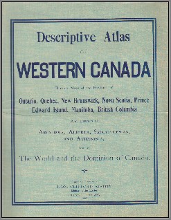
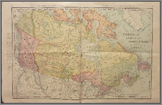
Descriptive Atlas of Western Canada. Issued by direction of Hon. Clifford Sifton, Minister of the Interior, Ottawa, Canada. 1900. M

Price: $300.00

mp378MP 378


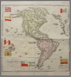
Il Nuovo Mondo Diviso nelle sue Principali Contrade. Early 19th century, poor repair. Please note the incorrect flags. M

Price: $450.00

mp299MP 299mp299aMP 299


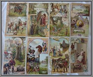
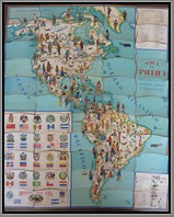
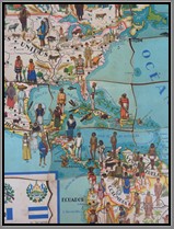
Complete set of 55 confectionary cards by Spanish Chocolate Juncosa on Map of the Americas, produced in the 1920’s. Measuring 18x24 inches, the reverse of each card contains information about the country shown on the face. A rare set. M

Price: $350.00

mp189MP 189


Derrotas Para La Navegacion Del Mar de las Antillas y El Golfo de Mejico. Direccion de Hidrografia, Madrid 1863. Shows navigation routes. Size: 35 x52. B

Price: $190.00

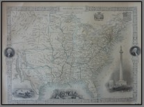
mp178MP 178 Tallis map of the United States. B

Price: $125.00

mp176MP 176


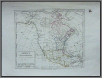
Late 18th century map of North America. Titled America Settentrionale Secondo le scoperte fatte dal Cap. Cook. B

Price: $180.00

mp160MP 160


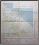
French map of Cayenne and surrounding area. Feuille NB-22-11-4. Ministere des Travaux Publics et des Transports. 1951-1952. Gives much detail. Scale: 1:100,000. Size: 69 x 81cm. B

Price: $120.00

Copyright © 2013-2024 History Revealed