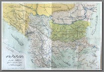
Middle East
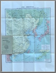
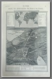
Vient de Paraitre: arte d’Extreme Orient, 1904. Asie Orientale Pour Suivre les Operations Militaires en Extreme-Orient. Scale 1:8000000. Inset map of Russian controlled territory of Kuang-Tung. Also shows cities in the region open to European trade. Size 75x56cm. Cover included. B
Price: $390.00
 MP 564
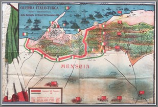
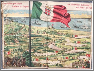
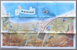
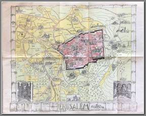
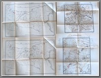
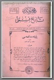
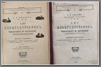
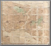
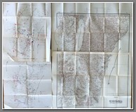
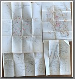
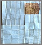 MP 564Book titled Yıldırım. Written by Hüseyin Hüsnü Emir (Erkilet). Published in 1921 by Matbaa-i Askeriye ( Military Printhouse) – İstanbul. 48 battle maps included, mostly of Palestine. Due to weight of the maps the back cover has split. Very rare to find all the maps as they are usually sold off individually. B
Price: $2000.00
Note: The Yildirim Army Group or Thunderbolt Army Group of the Ottoman Empire (Turkish: Yıldırım Ordular Grubu) or Army Group F (German: Heeresgruppe F) was an Army Group of the Ottoman Army during World War I. While being an Ottoman unit, it also contained the German Asia Corps. Starting in June 1917, the Yildirim Army Group's first commander in chief was the former Prussian Minister of War and Chief of Staff Erich von Falkenhayn. Von Falkenhayn was replaced by General of the Cavalry Otto Liman von Sanders on 25 February 1918. After the Armistice of Mudros on 30 October 1918, Mustafa Kemal took command until the Group's dissolution a few days later. The army group included troops who used the latest Western-Front infiltration tactics; were equipped with close-combat gear, such as Stahlhelms and stick-grenades; and were supported by artillery and machine guns.
 MP 564 MP 564 | 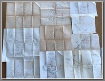 MP 564 MP 564 | 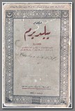 MP 564 MP 564 |
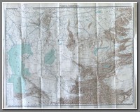
Turkili Harritasi (Turkish Map). Map of North Iran and Southern Russia. 64x79cm. Scale 1:4200000. By Prof. Dr. A. Zeki Velidi Togan. Alaeddin Kiral Basimevi – Istanbul – Ankara. Cartographer Behcet Begit. Cities and railways as of 1941, provincial divisions and borders as of 1918. B
Price: $700.00

