World and Europe
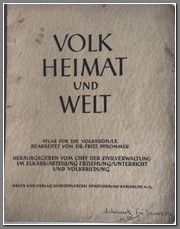
Normally I don’t buy children’s school atlases but VOLK HEIMAT UND WELT. Atlas fur di Volksschule Berbeitet von Dr. Fritz Pfrommer (PEOPLE HOME AND WORLD. Atlas published by the head of the civil administration in Alsace/education/teaching and popular education department. Edited by Dr. Fritz Pfrommer) was unique in that it was produced toward the end of WW2 but still maintained the illusion of German victory. It preferred to show the limits of nazi expansion to the east (Grossdeutschland and Liebenstraum) on the one hand, along with the “protectorate” of Bohemia and Moravia) rather than the current situation. It also shows that the regime considered land conquests in Poland as part of Greater Germany, while conquered countries to the west and north not. The three historical maps refer only to the movement of the Vikings, The Hanseatic League and the German knightly order in the North and Baltic Sea region and the current war. 21/26 maps deal with Germany……the remaining 5 deal with the rest of the world. An interesting atlas designed to indoctrinate French children living in Alsace on the greatness of Germany, which is perhaps why the author decided not to include France and the Benelux in Greater Germany. There is an inscription on the front cover dated January 1945, apparently written in Alsacian by a student. Not a typical atlas, it shows different home types throughout Germany and different land formations.
Price: $700.00
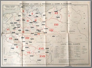
French map titled Emplacement des Camps de Prisonniers de Guerre en Allemagne. Shows the locations of stalags (soldiers and NCO’s) and oflags (officers) for French army POW’s. The camps are ranked by size. Produced by the French Ministere des Prisonniers, Deportes et Refuges, it details the movement between camps as well.
Price: $800.00
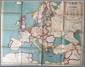
Europe 1940. Cate Editee par Le Journal. Produced shortly after the fall of Poland but before the invasions of Western Europe, it shows the territories annexed by Germany (Austria, Czechoslovakia, Memel, Danzig, Poland), annexed by Russia (Poland), territory of Wilno ceded by Russia to Lithuania and the territory ceded to Russia by Finland. Country size, population and population density shown for each country. Some fold splits easily repaired. 100x120cm.
Price: $450.00
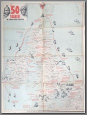
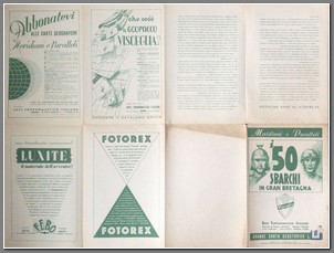
Italian Propaganda map produced in Rome in 1941 by Visceglia. It is titled I 50 Sbarchi in Gran Bretagna (50 disembarks on Great Britain). Sponsored by a number of Italian companies on the reverse, it was used for classroom education to show how vulnerable Great Britain has been to invasion over the last 2000+ years, and it challenges the notion that Great Britain is invulneralbe. Interesting in that the masthead shows an ancient Roman soldier and a modern day German soldier. 60x80cm.
Price: $400.00
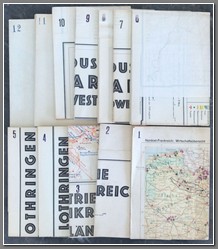
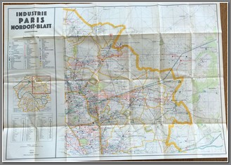
Complete set of 12 maps developed by the German General Staff Department for War maps and Surveying in 1940. Developed specifically for the invasion of France it provides in great detail the location of factories and important infrastructure and a range of other detail necessary for planning an invasion. As the set covers the area north of Burgundy it is clear that the plan of invasion developed by General Erich von Manstein was to be adopted (later known as the Sichelschnitt ("sickle cut") – it called for an attack through the woods of the Ardennes and a rapid drive to the English Channel, thus cutting off the French and Allied armies in Belgium and Flanders.) The maps are various sizes and compiled from different sources of information gathered over the previous 8 years. Some of it lifted directly from French documents. Marked FOR OFFICIAL USE ONLY. B
Price: $5000.00
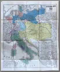
Carta Geografica del Teatro Della Guerra nel 1866. Editori Della Biblioteca Utile, Milano, Via Durini N. 29. It shows the theatre of the Austrian-Prussian War. Size 65x79cm. Cover included. B
Price: $500.00
Note from Wikipedia: The Austro-Prussian War, also by many variant names such as Seven Weeks' War, German Civil War, Brothers War or Fraternal War, known in Germany as Deutscher Krieg ("German War"), and by a variety of other names, was fought in 1866 between the Austrian Empire and the Kingdom of Prussia, with each also being aided by various allies within the German Confederation. Prussia had also allied with the Kingdom of Italy, linking this conflict to the Third Independence War of Italian unification. The Austro-Prussian War was part of the wider rivalry between Austria and Prussia, and resulted in Prussian dominance over the German states. The major result of the war was a shift in power among the German states away from Austrian and towards Prussian hegemony. It resulted in the abolition of the German Confederation and its partial replacement by the unification of all of the northern German states in the North German Confederation that excluded Austria and the other Southern German states, a Kleindeutsches Reich. The war also resulted in the Italian annexation of the Austrian province of Venetia.
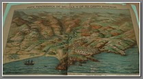
Military panoramic view of Melilla, early 20th century. L. Ciriza del. Lit. E. Fernandez. Feijoo 3. Madrid. 44x32cm. At the bottom is the description of the view, the Horcas camp, Venadito ship, Monte gurugú, Neutral Zone, etc. Repaired with acid-free tape, damaged edges not affecting the map proper.
Price: $250.00

