Africa
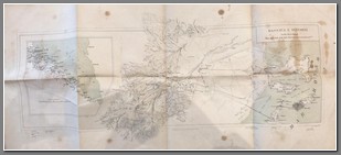
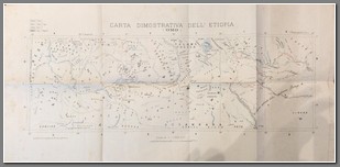
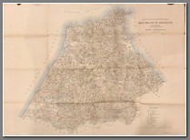
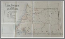
1885 military map Massaua e Dintori. Scale 1:20,000. Size: 37x80cm. Shows indigenous “shacks” and “shacks” at camp, water wells, telegraph lines, roads and paths on both hard and sandy soil, acqueducts, various forts, good detail of Massaua. One of the earliest Italian maps of Massaua and surrounding area. Age stains.
Price: $400.00
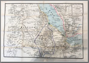
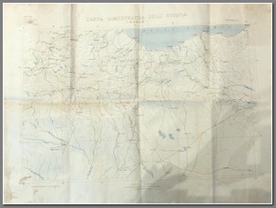
Cara Geografica del Teatro Della Guerra in Africa e della Occupazione Italiana. By C. Ronchi, this map was a supplement to the Giornale il Secolo #6799. Shows early Italian possessions at Assab and Massaua. What is fascinating about this map is it shows the Africa coast as far south as current Somalia under the suzerainty of Egypt. Secondly, we see a diminished version of Abyssinia before Menelik was able to conquer the Horn to form present day Ethiopia. He was able to accomplish this with the guns provided by the Italians following their disaster at Adua in 1896.Size: 57x81. Scale 1:3000000.
Price: $450.00
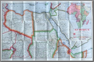
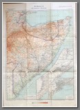
Carta della Spedizione Militare Italiana in Africa. Done at the time of the military expeditions from 1885-1895. What is fascinating about this map is it shows the Africa coast as far south as current Somalia under the suzerainty of Egypt. Secondly, we see a diminished version of Abyssinia before Menelik was able to conquer the Horn to form present day Ethiopia. He was able to accomplish this with the guns provided by the Italians following their disaster at Adua in 1896. Insets of lower Assab, the Gulf of Zula and Chartum. Size: 46x54cm. Small mice damage in one of the folds.
Price: $450.00

