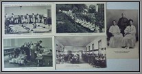
Korea
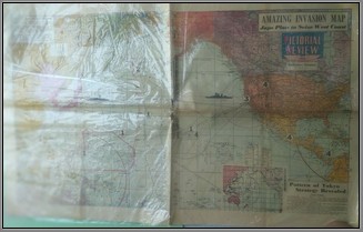
Map published in the San Francisco Examiner on August 22, 1943. Titled "Amazing Invasion Map-Japs Plan to Seize West Coast", it shows Japans four stage plan to invade the Pacific and the U.S. The information was provided by Han Kil Soo, a Korean nationalist agent who released a 1941 map portraying in four stages Japan's scheme of attack on the United States and Great Britain. It is written in Hirigana, Katakana and Kanji with an explanation in English. Size: 32" x 21". Condition is very good, folded with a little tearing where all the folds merge.
Price: $250.00
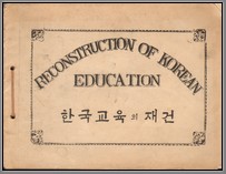
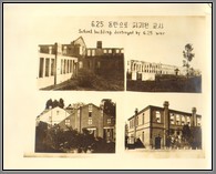
Official photo book Reconstruction of Korean Education, immediately following the 6.25 war. 5 pages of photos, each with protective film. Shows school building destroyed by 6.25 war, tent classroom and outdoor class, rehabilitation of school building, over-crowded classroom since the war, school festival at the damaged play ground, outdoor meeting of school organization run by pupils, outdoor class caused by classroom shortage, broadcasting centre run by pupils, model bank in school run by pupils, editors room of school paper run by pupils. Captions in English and Korean. Rare. B
Price: $700.00
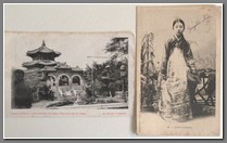
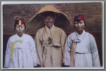
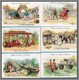
 KT 089 KT 089 | 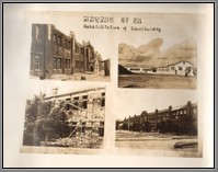 KT 089 KT 089 | 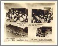 KT 089 KT 089 | 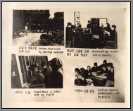 KT 089 KT 089 |


